Mount Pelée Hike: Account of an Attempt to Climb via Morne Rouge

Heading to Schoelcher tonight, Sandra’s family’s village, to prepare for the volcano climb.
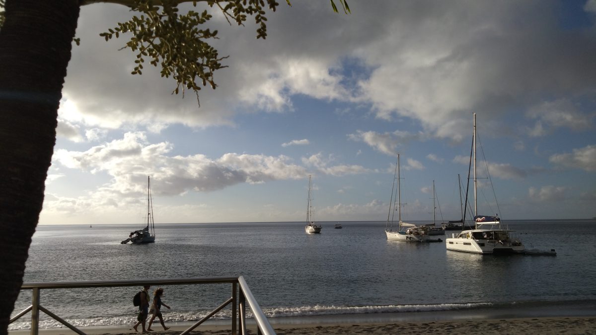
The sun is beginning to set as we arrive in the capital by shuttle boat. We wait for a friend who’s passing through to pick us up by car. On the way, he suggests we go to the Boucan festival that evening.
However, the weather turns gloomy, and as soon as we arrive in Schoelcher, it starts to rain. The family advises us against climbing the volcano.
Schoelcher

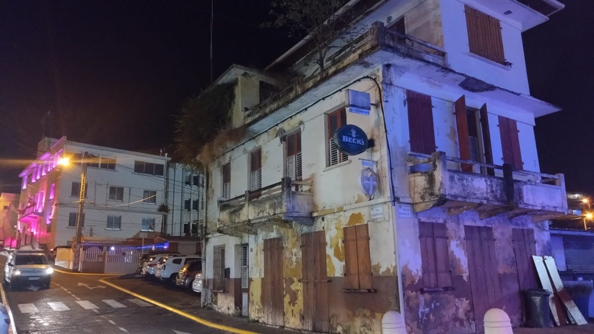
In the morning, I pack my hiking backpack and put on my hiking boots. After doing some research on the route to take, I find that there’s a trail leading to the summit that starts at Morne Rouge. We head back up toward Fort-de-France to catch the bus (about 2.50).
We pass by the Balata Garden, promising ourselves we’ll visit it either on the way back or another day.
In Search of the Hiking Trail: L’Aileron
The ride to Morne Rouge is a bit long. Sandra falls asleep, and I, as usual, get lost in my thoughts as I watch the landscape roll by. A lot is going through my mind right now. Like the idea of leaving—leaving Belgium for good. It’s a plan I’ve had in the back of my mind for a long time, but I’ve been putting off putting it into action.

Lost in my thoughts like this, I realize just how much I’ve grown in the way I see the world and people. Especially in accepting that my perspective is completely different from others’. After going through so much pain and so many experiences, after falling a thousand times and even drowning in my attempts to “save” what cannot be saved. This leaves a mark on us for life; I’m marked for life, and that’s not necessarily a bad thing. We learn from our mistakes, and as a result, we gain life lessons. I tend to think of this life as one of redemption compared to my previous ones. It’s just a feeling, of course.
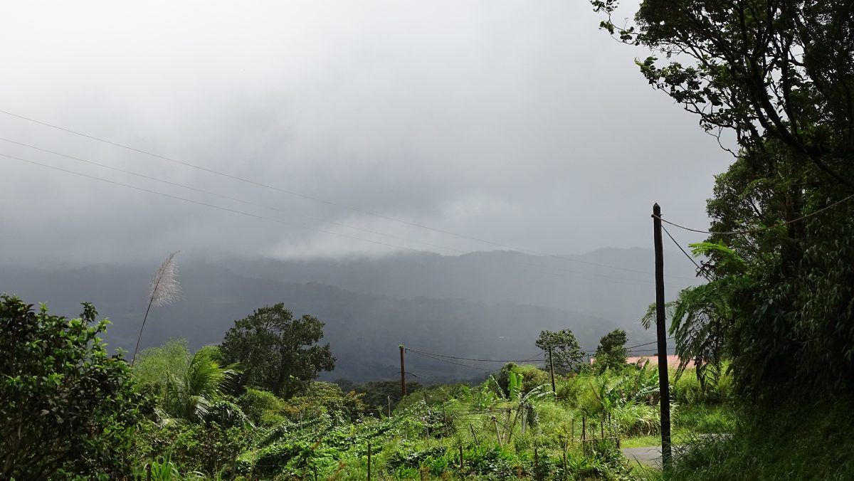
I’m snapped out of my reverie by the driver, who tells us we’re arriving at Morne Rouge. The weather is gloomy, heavy, and it’s drizzling.
Trail No. 23: A Reality Different from the Map
According to my evening reading, there’s a trail: Trail No. 23, starting from the Aileron parking lot (Ajoupa Bouillon, Morne Rouge). Of course, that’s on paper. The reality is quite different.
Only one directional sign was visible at the bottom, and after that, we couldn’t find any others. We’ve been walking for over an hour, and aside from fields of chayotes (a vegetable), we don’t see anything else. The drizzle turns into rain; we try to cover up as best we can. It’s starting to get really cold, with no shelter in sight, so after a while, we decide to hitchhike. It takes five or six cars to pass by before we finally find one that stops. He knows the trail, and sure enough, it’s not exactly close by. What luck—that’s exactly where he’s headed. He explains that he hikes this trail several times a week, no matter the weather.


He eventually offered to drop us off again after his run, near Saint-Pierre, the village at the foot of the mountain. I tried to convince my friend to hike part of the trail since we were already there and walking would warm us up.
History and Legends of Mount Pelée
So here we are on the trail toward the summit of Martinique. Do you know why this volcano was named Mount Pelée?

There are two theories as to why the volcano bears this name.
Where does the name “Mount Pelée” come from?
The first theory is that at the time of colonization, in 1636, the summit was bare of all vegetation, suggesting that a volcanic eruption had occurred a few years earlier.
The second—and my favorite—is drawn from the mythology of the Kalinago Indigenous people. Named with awe and respect: The Great Lady of the North. Pelée is said to correspond to the fiery-haired goddess who is very quick to anger; when she becomes angry, she stamps her foot on the ground, causing earthquakes or volcanic eruptions.

The volcano itself is a gray stratovolcano, whose last eruption in 1903 swept away the village of Saint-Pierre in its wake—the deadliest eruption of the 20th century. Since that day, the volcano has been under constant surveillance.
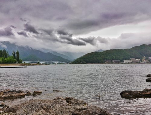
The weather is extremely changeable; at times we catch a glimpse of the summit, and the next moment it disappears behind a thick layer of fog.
This long hike is becoming tedious, especially since we’re soaked. We realize that the terrain is becoming increasingly slippery and impassable. It’s time to retrace our steps.

Back at the starting point, we try to find someone who could give us a ride somewhere else.
In the end, our driver turns out to be the same one we had when we set out; he’ll drop us off in Saint-Pierre. On the way, he’ll give us tips on the various stunning waterfalls in the area—his advice is not to visit them on a rainy day or the day after it rains.
The further we head down toward the coast, the clearer the weather gets—the sun finally comes out… At last!
End of the Adventure and Discovery of Saint-Pierre
We stopped at a black-sand beach to have lunch, dry our clothes, and—most importantly—warm up!

We spent the rest of the afternoon strolling through the town.
Black-sand beach and waterfalls in Martinique
This town was destroyed by the 1902 eruption; reconstruction took 20 years. Saint-Pierre was designated a “City of Art and History” in 1990. Then we took the bus back. In the evening, we headed to the festivities in Fort-de-France: “Les Boucans de la Baie”! On the eve of December 31, there’s a fireworks display introduced by the city’s mayor; we find stalls selling traditional foods and wild parties on all the boats docked there.
After watching the fireworks in awe, we met up with some friends of Sandra’s on a boat. We spent the rest of the evening there until the first light of dawn.
Yours truly,